



未购
中图号P2
语种ENG
出版年2008
出版信息
Wiley
EISBN
9780470864111
PISBN
9780470864104
版次
1
- 介绍
- 目录
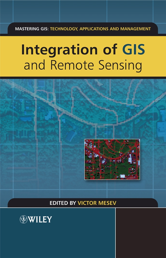
Integration of GIS and Remote Sensing forms part of the Mastering GIS series, where the approach is to provide professional users of GIS with a one-stop-shop of information in specific areas. Ever since the first formal research agendas on GIS and remote sensing integration were introduced back in 1990 by the US National Center for Geographic Information and Analysis (NCGIA Initiative I-12) hybrid systems have become very much the rule rather than the exception. Although data from both GIS and remote sensing are now routinely analyzed by seamless interoperable amalgam systems many users are unaware of the numerous technical and institutional issues that need to be addressed when merging data that are derived from disparate sources and essentially represent diametrically opposing conceptual views of reality. This book explores the tremendous potential that lies along the interface between GIS and remote sensing for activating seamless databases and instigating information interchange. It concentrates on the rigorous and meticulous aspects of analytical data matching and thematic compatibility - the true roots of all branches of GIS/remote sensing applications. The first four chapters of the book confront technical issues of integration, such as data fusion, scale effects and data uncertainty, as well as introducing an integrated taxonomy of data structure and system-independent functionality. The other seven chapters explore and demonstrate most of the salient integration procedures and methodologies using a number of applications, including the measurement of urban morphologies, the estimation of urban sprawl and population growth, urban vulnerability analysis, and the augmentation of environmental change indicators. In all, emphasis is given to the close statistical and thematic association of information from both technologies, and the merits of joint implementation of GIS and remote sensing.
机构馆藏
- 哥伦比亚大学
- 芝加哥大学
- 加州大学伯克利分校
- 牛津大学
- 普林斯顿大学
- 耶鲁大学